As part of the advocacy program, the pilot application of WILUP will be conducted to update CLUPs of at least two (2) LGUs. This application aims to provide a venue for showcasing the actual operationalization of WILUP, experiential learning, and capacity building. Likewise, it will also be instrumental in facilitating the formation of a core group of advocacy champions consisting of prominent personalities from the government and civil society.
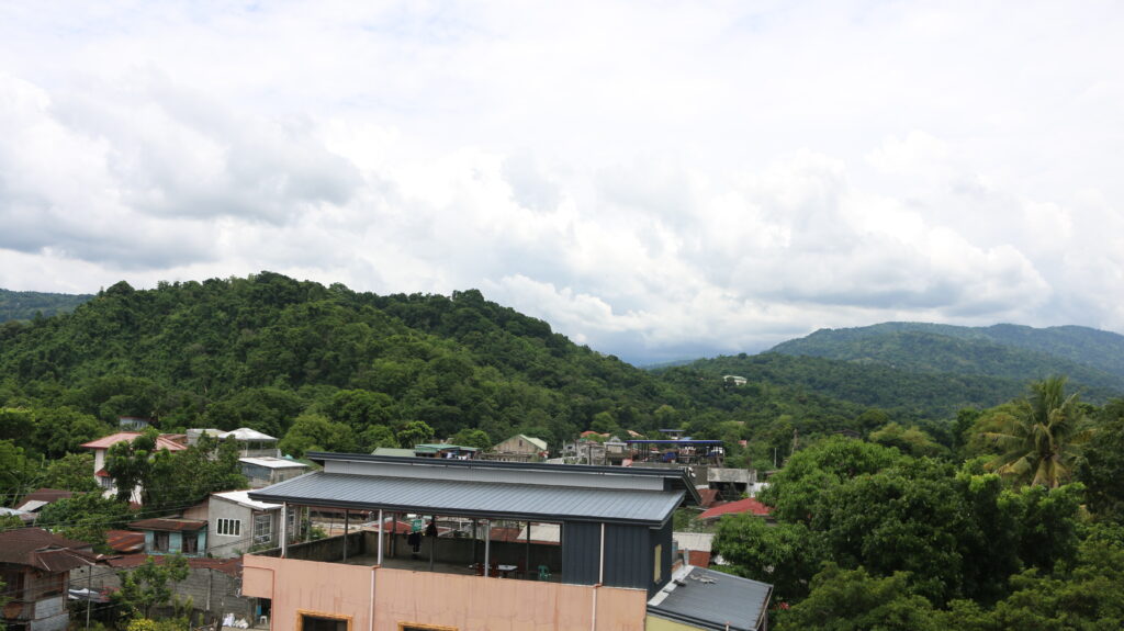
San Gabriel, La Union was selected as a pilot site due to its location in the Baroro Watershed. The Baroro Watershed comprises five (5) municipalities and one (1) city in the province of La Union; Bacnotan, Bagulin, San Gabriel, and Santol, and the City of San Fernando, respectively. San Gabriel has the largest area coverage, accounting for approximately 50.77% of the entire watershed area while Santol has the least area coverage with only 505.29 hectares of the watershed area or 2.60%. This common typology of a watershed where several LGUs share substantial jurisdiction over the watershed.
The Institutionalization of Guidelines on Watershed Integrated Area Land Use Planning (WILUP) Towards Resiliency with the UPLB College of Forestry and Natural Resources (CFNR) and the Municipal Government of San Gabriel, La Union entered a Memorandum of Agreement with the project goal of assisting the Municipality of San Gabriel through effective planning and development of various planning tools such as Integrated Water Management Plan (IWMP), Comprehensive Land Use Plan (CLUP), Comprehensive Development Plan (CDP), Ecological Profile (EP), Zoning Ordinance (ZO), Enhanced Local Climate Change Adaptation Plan (e-LCCAP), Disaster Risk Reduction and Management Plan (DRRMP), Forest Land Use Plan (FLUP), E-LCCAP.