
Watersheds within Los Baños, Laguna
The Watersheds within Los Baños are sub-watersheds of the Pasig-Laguna River Basin with parts under the jurisdiction of Los Baños Laguna. The Pasig-Laguna Basin is one of the large basins on Luzon Island with an area of 4,108.74 sq. km. Most of the basin’s area is in Region IV-A or CALABARZON, specifically the provinces of Laguna and Rizal but small portions of the basin are also parts of the provinces of Cavite, Batangas, and Quezon. Although only about 20% of the Pasig-Laguna River Basin is in the National Capital Region (NCR) or Metro Manila, the northern two-thirds of the region is in the downstream portion of the river basin. A large part of the basin is the Laguna de Bay and most sub-basins drain to the lake before the water drains to Manila Bay where the outlet of the river basin is situated.
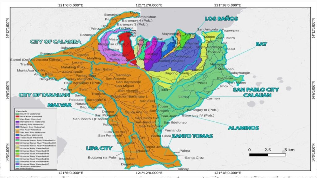
Photo Courtesy by:
The largest three among these watersheds are San Juan River Watershed, Bay River Watershed and Molawin River Watershed. Among these Watersheds, the River Basin Control Office of the Department of Environment and Natural Resources categorizes one as a critical watershed, namely the San Juan Watershed. The smallest watersheds are the unnamed watersheds all located in Los Baños. The entire Mt. Makiling Forest Reserve is also located inside the cluster and encompasses multiple watersheds. Figure 1 shows the map of the Los Baños cluster of watersheds.
Based on the 2020 PSA data, approximately 1,037,373 total population from the Province of Batangas and Laguna are affected by the 20 watersheds within Los Baños, Laguna. From which, Sto. Tomas, Batangas, and the City of Calamba, Laguna have the highest population comprising 218,500 and 338, 259 people, respectively. In the province of Batangas, 3 municipalities and 2 cities were located inside the 13 watersheds comprising 79 barangays. On the other hand, 4 municipalities and 2 cities were found in the province of Laguna with 80 barangays.
About Los Baños, Laguna
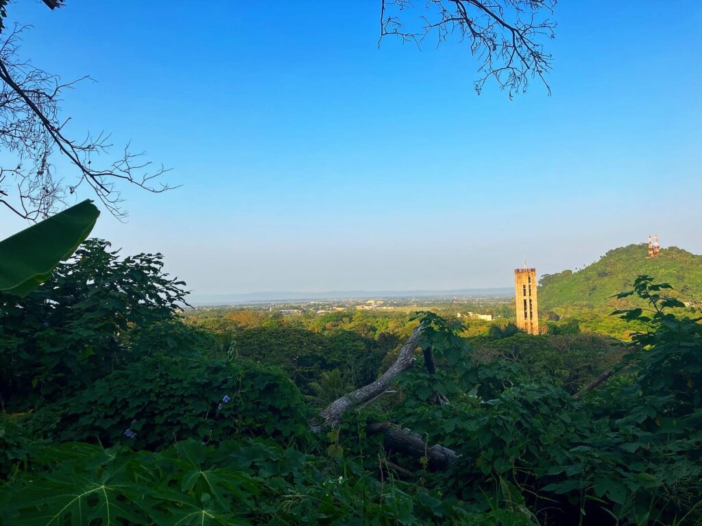
Photo Courtesy by: WILUP staff
Los Banos Laguna
The province of Laguna is only 30 kilometers south of Manila with a total land area of 1,759.7 square kilometers, 50.59% of which is still agricultural in use. Los Baños is one of the four Municipalities and City comprising the 2nd District of Laguna which lies within CALABARZON, one of the nation’s progressive and dynamic industrial regions. Los Baños’ land area of 5,650 hectares comprises 3.21% of Laguna’s total land area.
According to PSA 2020, The barangays of Los Baños have a total population of 115,353. Mayondon has the highest population of 17,817 individuals while Bagong Silang has the lowest population with 707 individuals.
Collaboration of WILUP Project and the Municipal Government of Los Banos, Laguna
The Institutionalization of Guidelines on Watershed Integrated Area Land Use Planning (WILUP) Towards Resiliency with the UPLB College of Forestry and Natural Resources (CFNR) and the Municipal Government of Los Baños, Laguna entered a Memorandum of Agreeement with the project goal of assisting the Municipality of Los Baños through effective planning and development of various planning tools such as Integrated Water Management Plan (IWMP), Comprehensive Land Use Plan (CLUP), Comprehensive Development Plan (CDP), Ecological Profile (EP), Zoning Ordinance (ZO), Enhanced Local Climate Change Adaptation Plan (e-LCCAP), Disaster Risk Reduction and Management Plan (DRRMP), Forest Land Use Plan (FLUP), E-LCCAP
Pilot Site Identification
Site Coordination
Initial Stakeholders Identification
Secondary Data Collection
Site Visit and Project Presentation
Stakeholder's Consultation and Workshop
Presentation of Situational Analysis
Implementation of Project Activities